[ Page 1 ]


|
[English Translation] I <[]> <[]> <[]> <[]> <[]>BOOK ONEDEALING WITH THEDESCRIPTION OF THE
great & admirable King–
|
|
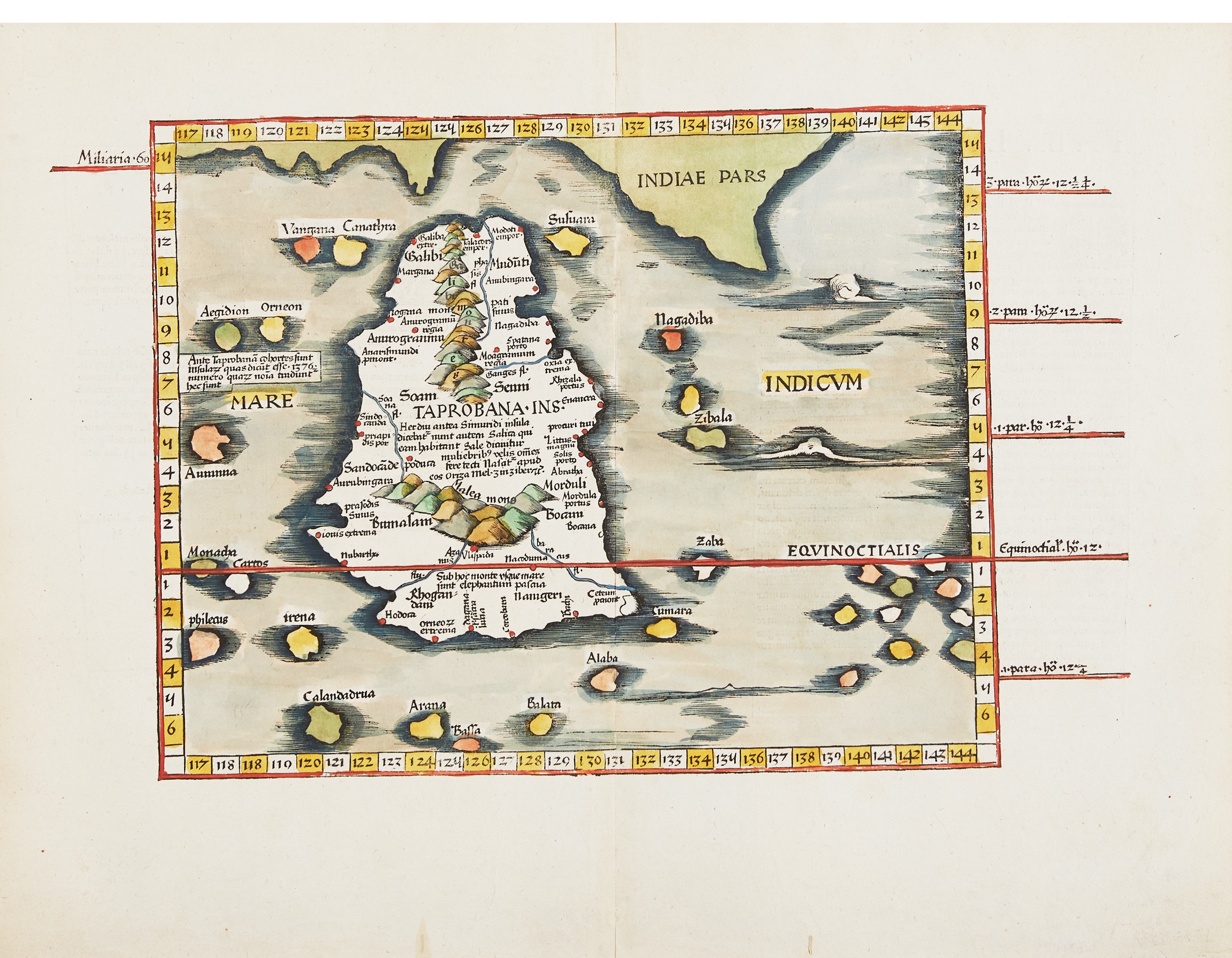
1. Taprobane was a name used by ancient western cartographers to describe an island in the Indian Ocean thought
by most modern historians to represent Sri Lanka. However, at the time Antangil was authored most cartographers
believed Taprobane was the ancient name for Sumatra, and it appears this is also what the author of Antangil
believed.
2. SEE the world map of world map by Abraham Ortelius. The author of Antangil, speaking of himself, tells the reader that he "arrived at "Bandan in the year 1598, principal city of 'la grande Iave'..." However, the then flourishing City of Banten was not located on what most map makers depicted as " Jave la Grande", as this was more or less a fanciful creation of early map makers similar to that of "Terra Australis", or the imagined "Great South Land" depicted on many of these early maps. For more information on the early map depictions of these imagined lands SEE, JAVE LA GRANDE, A PART OF TERRA AUSTRALIS? 3. The South Pole 4. There are varying distances that constitute a league. A French league at different times measured between 2.02 to 2.91 miles. Other nations would have had their own definitions. |